Last week Tlicho Government staff members attended the 4th annual Indigenous Mapping Workshop in Winnipeg, Manitoba from October 30 to November 2, 2017.
Organized by Firelight Group, in partnership with Brokenhead Ojibway Nation, and Nanaandawewigamig, welcomed more than 200 community mapping practitioners from across North America.
The four-day event explored Google, Esri Canada, QGIS, and other geospatial tools. Participants learned how to use these tools to collect, host, visualize, share, and publish community data. The technical training was co-led by members of Google Earth Outreach, Esri Canada, and a global network of Indigenous mapping experts.
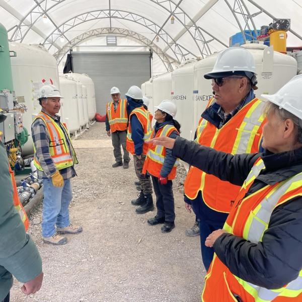
In addition, Petter Jacobsen, and Joseph Judas presented Boots on the Ground Caribou Monitoring on the Indigenous Environmental Monitoring Panel.
For more information please email [email protected]
References:
StoryMaps:
- Indigenous Mapping Workshop - November 2017
- Kwiitì Tili / Mowhi Canoe Trail - August 2016
- 2017 Boots-on-the-ground - July 2017